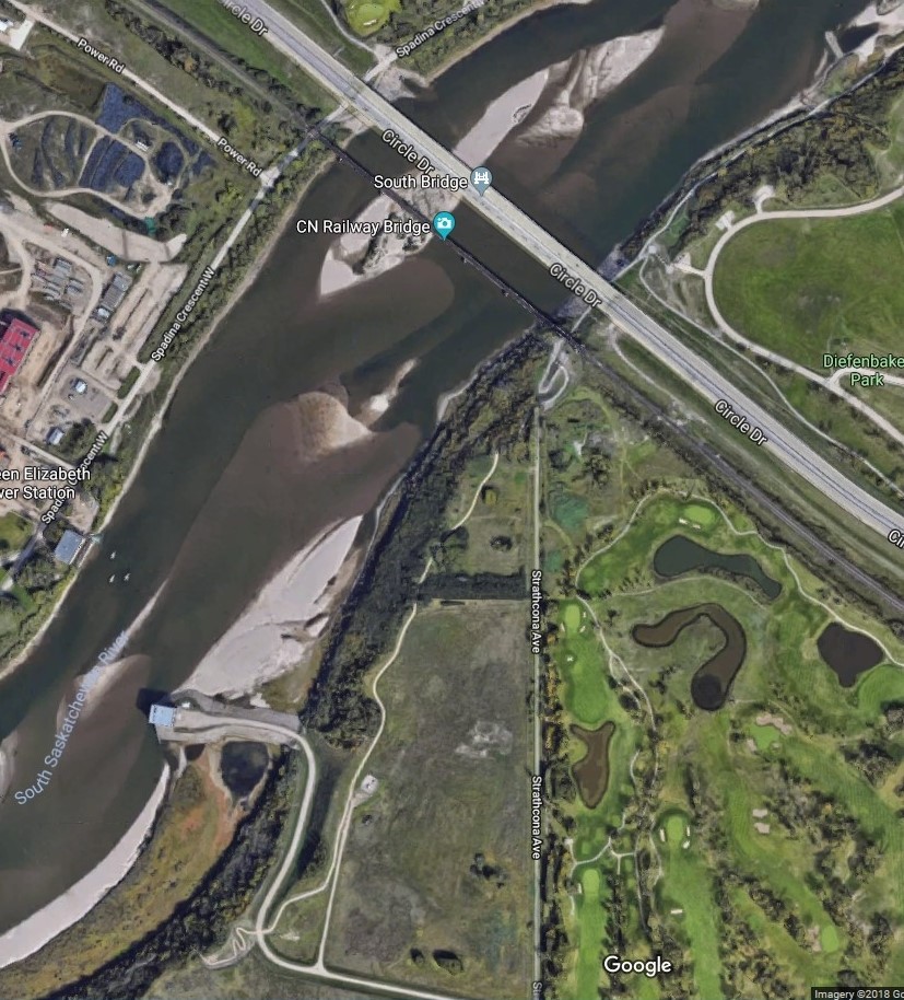
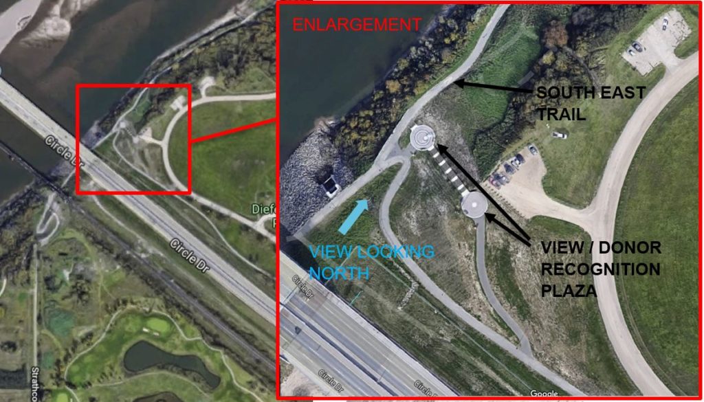
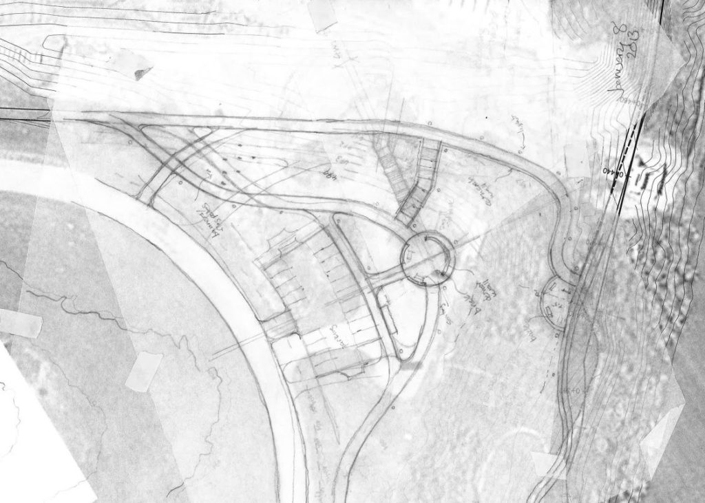
SOUTH EAST TRAIL - Trail alignment and View plazas, Saskatoon, Saskatchewan
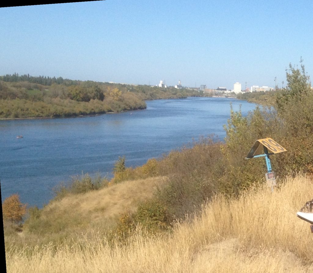
South Saskatchewan River, looking north to Saskatoon
Project Description
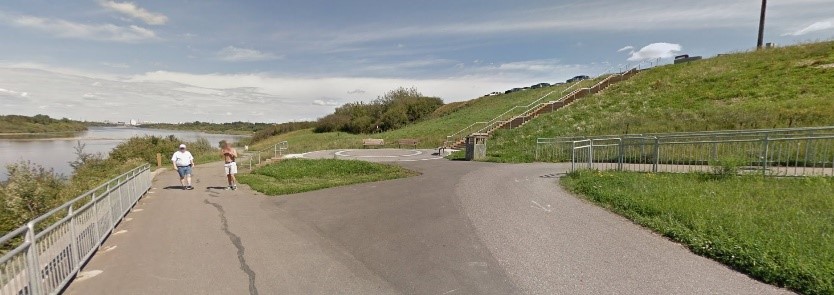
Trail alignment, grading (unstable slopes), storm water management and drainage structures.
Trail segment from Gabriel Dumont Park to Chief Whitecap Park.
“If you want to go for a nature walk but don’t want to leave the city of Saskatoon there are some fantastic trails that run the entire length of the South Saskatchewan River. Located on the east side of the river the trail head is very easy to find, just enter at the foot of any bridge within the city…The best places to start are either at the Circle South Bridge or the Circle North Bridge…
The trail systems runs the entire length of the city and there are many different trails that intersect each other…
I enjoy this hike as it can be more strenuous with the elevation changes and it feels like a hidden world just inside the city of Saskatoon. I use this trail when I have an itch to get outside but don’t have the time to go on a longer trip…”